
Assam-Arunachal Pradesh border dispute, 1951 to now
- Last month, just days after Assam chief minister met with his Arunachal Pradesh counterpart to discuss a solution to the decades-old boundary dispute between the two states, fresh tensions were reported along the border.
- While the flashpoint this time was the ongoing construction of the Likabali-Durpai road being built under the Pradhan Mantri Gram Sadak Yojana (PMGSY), the boundary dispute between Assam and Arunachal Pradesh dates back to colonial times.
Bone of contention: The 1951 notification
- Arunachal Pradesh, which was earlier a part of Assam, shares a boundary of roughly 800 km with the state—with frequent flare-ups reported along the border since the 1990s.
- The dispute dates back to colonial times, when the British in 1873 announced the “inner line” regulation, demarcating an imaginary boundary between plains and the frontier hills, which were later designated as the North East Frontier Tracts in 1915.
- The latter corresponds to the area that makes up present-day Arunachal Pradesh.
- However, before it was carved out of Assam, a sub-committee headed by then Assam chief minister Gopinath Bordoloi made some recommendations in relation to the administration of NEFA (under Assam) and submitted a report in 1951.
- Based on the Bordoloi committee report, around 3,648 sq km of the “plain” area of Balipara and Sadiya foothills was transferred from Arunachal Pradesh (then NEFA) to Assam’s then Darrang and Lakhimpur districts.
- This remains the bone of contention between the two states as Arunachal Pradesh refuses to accept this notification as the basis of demarcation.
- Arunachal Pradesh has long held that the transfer was done without the consultation of its people.
- According to All Arunachal Pradesh Students’ Union (AAPSU), Arunachal had customary rights over these lands, considering the tribes living there would pay taxes to Ahom rulers.
- Assam, on the other hand, feels that this demarcation as per 1951 notification is constitutional and legal.
Efforts at demarcation
- The border issues came to the fore after Arunachal Pradesh became a UT in 1972.
- Between 1971 and 1974, there were multiple efforts to demarcate the boundary but it did not work out.
- In April 1979, a high-powered tripartite committee was constituted to delineate the boundary on the basis of Survey of India maps, as well as discussions with both sides.
- By 1983-84, out of the 800 km, 489 km, mostly in the north bank of the Brahmaputra, were demarcated.
- However, further demarcation could not commence because Arunachal Pradesh did not accept the recommendations, and claimed several kilometres out of the 3,648 sq km that was transferred as per the 1951 notification.
- Assam objected and filed a case in the Supreme Court in 1989, highlighting an “encroachment” made by Arunachal Pradesh.
- To resolve the dispute between the two states, the apex court-appointed a local boundary commission in 2006, headed by a retired SC judge.
- In September 2014, the local commission submitted its report.
- Several recommendations were made (some of which suggested Arunachal Pradesh get back some of the territory which was transferred in 1951), and it was suggested that both states should arrive at a consensus through discussions.
- However, nothing came of it.
Flashpoints
- According to a 2008 research paper from the Manohar Parrikar Institute for Defence Studies and Analyses, clashes were first reported in 1992 when the Arunachal Pradesh state government alleged that people from Assam were “building houses, markets and even police stations on its territory”.
- Since then intermittent clashes have been taking place, making the border tense.
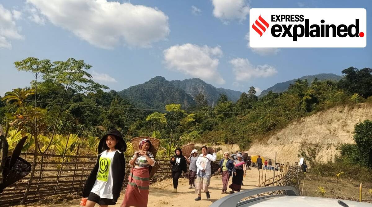
- The recent flashpoint is the ongoing Likabali-Durpai PMGSY road project in Arunachal Pradesh’s Lower Siang district—Assam claims that some parts of the road, under construction since 2019, falls under its Dhemaji district.
- The road, about 65 km to 70 km, is meant to connect at least 24 villages between Arunachal Pradesh’s Durpai and Likabali and has been granted after years of petitioning by local residents.
- Likabali is one of the oldest towns in the foothills and has long been a site of dispute.
Way forward
- There is a need for both states to cooperate and conduct a ground-level survey on boundary status.
- This can be done by a committee appointed by centre or Supreme court and involving representatives from both states.