
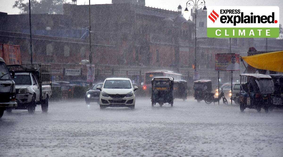
Why parts of northwest India are seeing excess rainfall in March
- The India Meteorological Department (IMD) issued a forecast for a fresh spell of rainfall along with thunderstorms and hailstorms over northwest, east and northeast India from March 30 to April 1, 2023.
The changing scenario
- Rainfall this month has also brought with it a drop in temperatures.
- In Delhi, for instance, the maximum temperature dropped to a low of 3 degrees Celsius on March 19.
- Last year, when Delhi recorded no rainfall at all in March, the national capital saw higher maximum temperatures of 38 and 39 degrees Celsius after March 20.
Factors responsible for such high rainfall
- Western disturbances: Multiple western disturbances have been affecting Northwest India this month in contrast to February when no western disturbances affected the plains of the region.
- The current spell of rainfall has also been brought by a western disturbance that lies as a cyclonic circulation over Afghanistan and the neighbourhood.
- According to IMD scientists, four western disturbances have affected the plains of northwest India so far this month.
Phenomenon behind Western Disturbance (WD)
- Western disturbances are storms that originate in the Caspian or Mediterranean Sea, and bring non-monsoonal rainfall to northwest India.
- The disturbance travels from the “western” to the eastern direction.
- A WD is associated with rainfall, snowfall and fog in northern India. It arrives with rain and snow in Pakistan and northern India.
- WD brings winter and pre-monsoon rain and is important for the development of the Rabi crop in the Northern subcontinent.
- Sometimes WDs can cause extreme weather events like floods, flash floods, landslides, dust storms, hail storms and cold waves killing people, destroying infrastructure and impacting livelihoods.
Prelims Take Away
- Western disturbances
- Monsoon Phenomenon